Chart Your Course
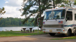
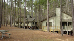
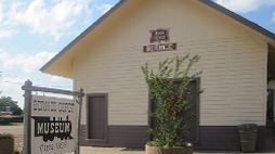
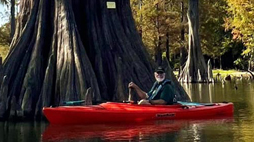
Roll on the river 34 miles thru Union Parish for a two-day camp/paddle by launching at Felsenthal, Arkansas. Stop on day one for camping at Finch Recreation Area campground with vault-toilet bathrooms, grills, picnic tables & tent camping at 32.8661/92.08 (18.0). Day two stops in Sterlington (34.2) after passing the mouth of Bayou Bartholomew, the longest bayou in North America.
Compass Coordinates
Felsenthal South: 33.0572/92.1252
Sterlington Rec Area: 32.7227/92.0642
Prospecting Treasure
For a very interesting side trip, you can enter into the largest floodplain project in the country. At mile marker (12.6), enter levy break at 32.9299/92/0746 and explore the Mollicy project of the Upper Ouachita National Wildlife Refuge. In 2010 more than 3,900 acres at the Mollicy Farm area of the Upper Ouachita NWR was flooded with a designed breach in the levy. This land connects 13,000 acres of existing refuge lands and protects habitat for tens of thousands of migratory birds, which visit the refuge every year for resting, foraging and breeding. The entire Upper Ouachita National Wildlife Refuge is Eighteen miles long and up to ten miles wide, the refuge consists of over 14,500 acres of bottomland hardwood forest, 5,000 acres of upland forest, 3,000 acres of shrub/wooded swamp, 16,000 acres of reforested farmland, and 2,000 acres of open water. About 80% of the refuge is subject to annual flooding from December through May.
Castaway Dangers
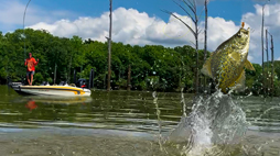
Boat traffic wake, random barge traffic, and current around submerged logs during high water can be dangerous. Also look out for carp, which seem to jump with the noise of boat traffic.
Scouting History
This portion of the river is documented in the book Hunter/Dunbar The Forgotten Expedition, 1804–1805: The Louisiana Purchase Journals of Dunbar and Hunter. These journals mark the expedition of James Hunter and William Dunbar who were commissioned by Thomas Jefferson at the time of Lewis and Clark to explore the Louisiana territory at the time of the Louisiana Purchase. They originally were to explore the Red River, but because of native strife in the region, diverted to the Ouachita. They explored this mostly by Keelboat and because this was before dredging at that time, they often carried the boat some distances. The Alabama Landing area was also significant because it marked the location where many settlers (some from Alabama) both crossed with wagons and unloaded from steamships to begin settlements in the early 1800’s.
Lies and Legends
For more history on the river, visit: http://www.ouachitariver.org/ Or find the Upper Ouachita National Refuge Map at https://www.fws.gov/refuge/Upper_Ouachita.

